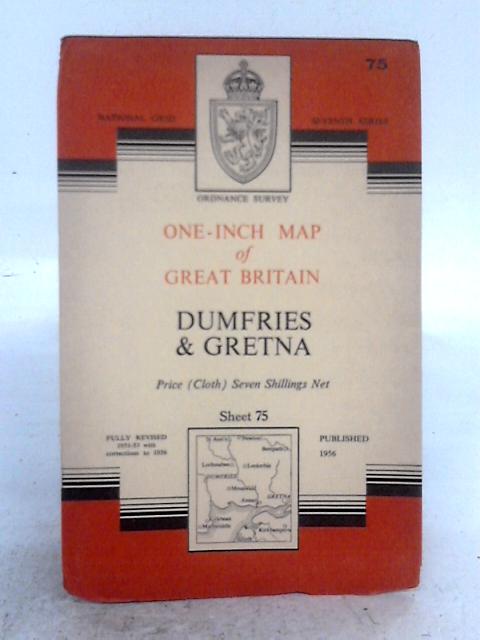
Ordnance Survey One-Inch Map of Great Britain; Dumfries & Gretna National Grid Seventh Series Fully Revised 1951-53 Sheet 75 Ordnance Survey
1956. Fully Revised Edition. Unpaginated. Pictorial red and white paper cover over colour illustrated cloth map. National Grid Seventh Series. Fully Revised 1951-53. Sheet 75. Scale 1:63360. Cloth map appears to be in good condition with light creasing to folds and faint rubbed marks to edges. Paper cover has moderate edge wear with scuffing to edges and creasing. Some dark rubbing overall. Faint red rubbed marking to rear cover.