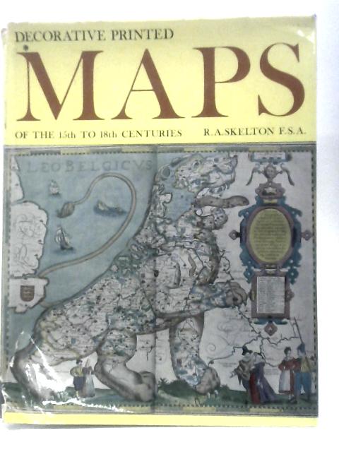
Decorative Printed Maps Of The 15th To 18th Centuries R.A.Skelton
1967. 3rd Impression. 80 pages. Pictorial dust jacket over blue cloth. Colour and black and white illustrated plates to rear of book. Pages and binding are presentable with no major defects. Minor issues present such as mild cracking, inscriptions, inserts, light foxing, tanning and thumb marking. Overall a good condition item. Boards have mild shelf wear with light rubbing and corner bumping. Some light marking and sunning. Clipped jacket has heavy edgewear with areas of loss, heavy tears, chips, and creasing. Light tanning to edges.