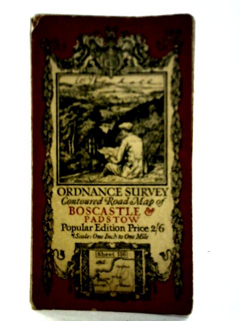
Ordnance Survery Contoured Road Map of Boscastle And Padstow. Sheet 136 Unstated
1919. Popular Edition. Unpaginated. Illustrated paper covers. Foldout map. Panels have minor scuffing, foxing and tanning. Mild creasing, tearing and fraying to fold lines. Binding remains firm. Light water staining to panels also visible; image unaffected. Paper covers have noticeable edge-wear and corner curling with visible fraying, tanning and scuffing overall.