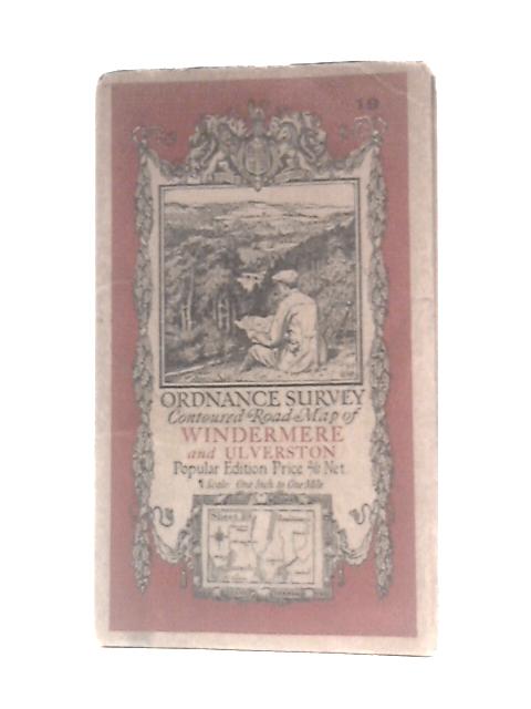
Ordnance Survey Contoured Map of Windermere and Ulverston Unstated
1927. No Edition Remarks. Unpaginated. Colour cloth bound map with pictorial paper covers. Map is lightly tanned overall with water stain and foxing to back of map. Paper cover has mild edgewear with curling to corners, reading creases and small tears to edges. Pencil inscription and water staining to rear cover. Light tanning overall.