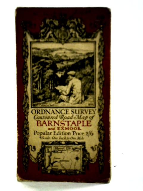
Ordnance Survey Contoured Road Map of Barnstaple and Exmoor No 118 Unstated
1918. Popular Edition. Unpaginated. Illustrated paper covers. Foldout map. Panels have minor scuffing, foxing and tanning. Mild creasing, tearing and fraying to fold lines. Binding remains firm. Light thumb marking present throughout. Paper covers have light edge-wear and corner curling with noticeable tanning and scuffing overall. Pen inscription to front cover.