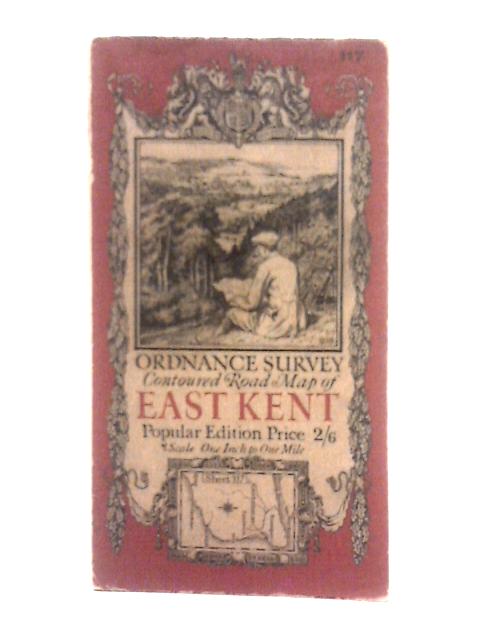
Ordnance Survey Contoured Road Map of East Kent Sheet 117 Unstated
1920. Popular Edition. Unpaginated. Paperback book with pictorial cover. Foldout illustrated map. Pages and binding are presentable with no major defects. Minor issues present such as mild cracking, inscriptions, inserts, light foxing, tanning and thumb marking. Overall a good condition item. Paper cover has mild edge-wear with light rubbing and creasing. Some light marking and tanning.