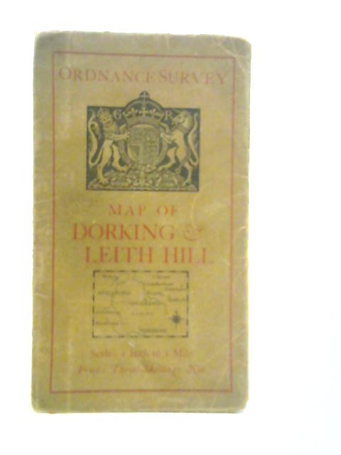
Ordnance Survey 'One-Inch Map', Dorking & Leith Hill Ordnance Survey
1929. No Edition Remarks. Unpaginated. Large folded map backed on cloth with pictorial paper covers. Map is lightly tanned with minor creasing on folds. Minor tears to folded creases. Paper covers have moderate edge-wear with slight rubbing to surfaces and curling to corners. Moderate tanning to covers.