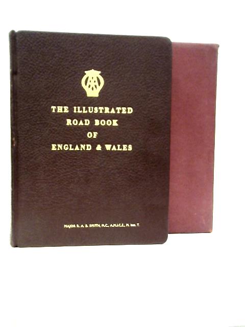
1963. Third Post War Edition. 542 pages. Fully bound in red leather with gilt lettering. Contains black and white illustrations and colour maps. Slipcase. Clean pages, illustrations and maps with light tanning and mild foxing throughout. Top textblock edge dyed gilt. Binding remains firm. Boards have mild edge-wear with slight rubbing to surfaces and bumping to corners. Gilt lettering is bright and clear. Minor peeling to spine and corners. Visible wear marks to boards. Slipcase has moderate edge wear with markings to panels and scuffing to edges.
The Illustrated Road Book of England and Wales with Gazetteer, Itineraries, Maps, & Town Plans
Alte & Seltene
The Illustrated Road Book of England and Wales with Gazetteer, Itineraries, Maps, & Town Plans
Zusammenfassung
1963. Third Post War Edition. 542 pages. Fully bound in red leather with gilt lettering. Contains bl...
The Illustrated Road Book of England and Wales with Gazetteer, Itineraries, Maps, & Town Plans Zusammenfassung
Zusätzliche Informationen
1722854209LEE
The Illustrated Road Book of England and Wales with Gazetteer, Itineraries, Maps, & Town Plans
The Automobile Association
Gebraucht - Gut
Gebundene Ausgabe
N/A
N/A
Kein Schutzumschlag
N/A
542
Third Post War Editi
Die Abbildung des Buches entspricht dem tatsächlichen Buch.
N/A
Dies ist ein gebrauchtes Buch. Wir geben unser Bestes, Ihnen hochwertige Bücher anbieten zu können. Tatsache ist jedoch, dass dieses Buch schon einen Vorbesitzer hatte und bereits gelesen wurde. Es weist daher Gebrauchsspuren von der früheren Nutzung auf.
1963