Cart
Free Shipping in Australia
Proud to be B-Corp

The Illustrated Road Book of England & Wales: With Gazetteer, Itineraries, Maps and Town Plans Automobile Association

The Illustrated Road Book of England & Wales: With Gazetteer, Itineraries, Maps and Town Plans By Automobile Association
Old & Rare

The Illustrated Road Book of England & Wales: With Gazetteer, Itineraries, Maps and Town Plans by Automobile Association


$46.59
Condition - Acceptable
Only 1 left

Summary

1966. Fourth edition. 556 pages. No dust jacket. Red cloth covered boards with gilt. Black and white...

The Illustrated Road Book of England & Wales: With Gazetteer, Itineraries, Maps and Town Plans Summary

The Illustrated Road Book of England & Wales: With Gazetteer, Itineraries, Maps and Town Plans by Automobile Association

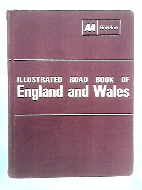
1966. Fourth edition. 556 pages. No dust jacket. Red cloth covered boards with gilt. Black and white illustrations throughout. Colour and black and white maps. Pages remain bright and clean with minimal tanning and foxing. Binding slightly loose. Boards have heavy shelf wear with bumping and fraying to corners and crushing, fraying and tearing to spine ends and edges. All surfaces tanned and sunned, particularly spine. Gilt lettering remains bright and clear. Some additional mild marks and staining. Boards are slightly bowed.
Additional information

1726047589ADA
The Illustrated Road Book of England & Wales: With Gazetteer, Itineraries, Maps and Town Plans
Automobile Association
Used - Acceptable
Hardback
N/A
N/A
No Jacket
N/A
556
Fourth edition
Book image taken of actual book.
N/A
This is a used book. We do our best to provide good quality books for you to read, but there is no escaping the fact that it has been owned and read by someone else previously. Therefore it will show signs of wear and previous use.
1966

Customer Reviews - The Illustrated Road Book of England & Wales: With Gazetteer, Itineraries, Maps and Town Plans