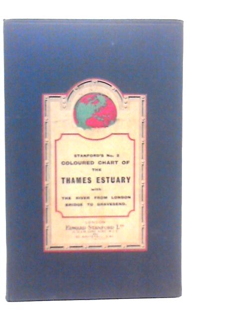
Stanford's Coloured Chart of the Thames Estuary with the River from London Bridge to Gravesend. by Unstated
No dust jacket. Two colour folded maps mounted on linen in blue cloth covered boards. Both maps are in good condition with mild tanning and foxing. Minor wear on folds, with a small tear towards the centre of the larger map. Faint markings overall. Mild brown staining to reverse side of both maps. Covers have mild edge wear with some bumping to corners and crushing to spine ends. Faint black marks with some other markings and scratches overall. Small brown stain with faint pen inscription to front label.