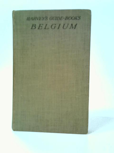
Belgium and Luxembourg - with 39 Maps and Plans by George Harvey
1930. No Edition Remarks. 195 pages. No dust jacket. Green cloth. Contains black and white maps throughout. Pages are mildly tanned and foxed, but text remains clear. Noticeable marking to some pages throughout; text is not obscured. Binding is firm. Mild cracking to front hinge. Price inscription to front free endpaper. Boards have moderate shelf-wear, with noticeable corner bumping and some scuffing to edges. Spine is moderately sunned, with visible splitting to head. Noticeable marks overall. Boards are slightly warped.