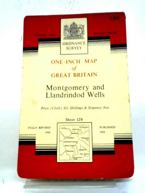
One-Inch Map of Great Britain: Montgomery and Llandrindod Wells by Ordnance Survey
1952. Unpaginated. Orange and white pictorial paper cover. Sheet 128. Cloth backed map is bright and clear, with light foxing and tanning. Slight creases to corners. Paper cover has mild edge wear with light rubbing and creasing. Some light marking and tanning.