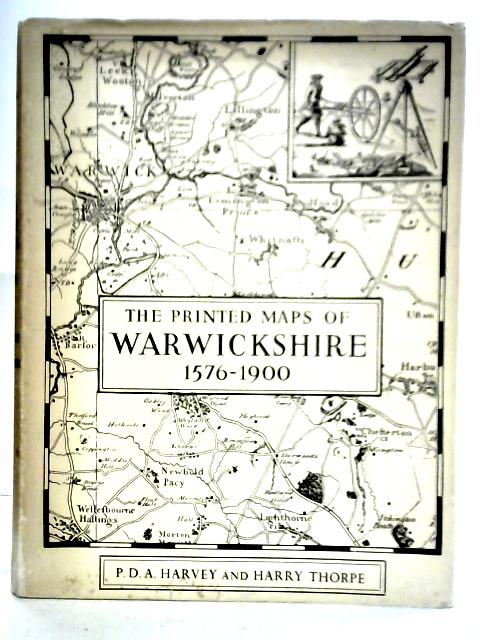
The Printed Maps of Warwickshire, 1576-1900 by P. D. Harvey & Harry Thorpe
1959. Reprinted. 279 pages. Pictorial dust jacket over blue cloth with gilt lettering. Plate to front pastedown. Black and white photographic map plates. Minor foxing and tanning to pages and plates. More prominent to text block edges, pastedowns and free endpapers. Light cracking to gutters and hinges but binding remains firm. Boards have minor corner bumping and edgewear with mild scuffing overall. Spine has light sunning with soft crushing to ends. Lettering remains bright and clear. Book has a slight forward lean. Unclipped dust jacket with minor rubbing, chipping and tearing to edges. Moderate tanning and scuffing overall.