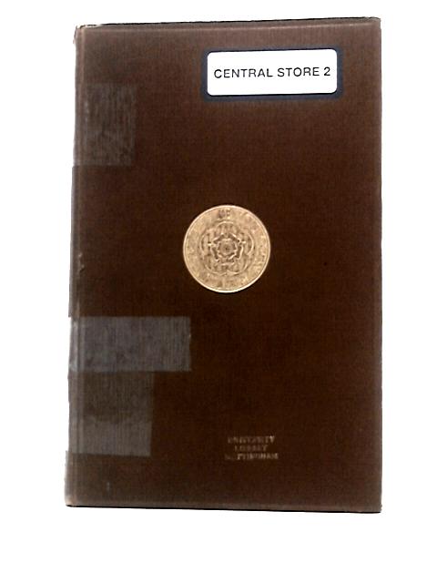
A Descriptive List of the Printed Maps of Yorkshire and its Ridings, 1577-1900. (Yorkshire Archaeological Society Record Series Vol LXXXVI for the Year 1933) by Harold Whitaker
1933. No Edition Remarks. 261 pages. No dust jacket. This is an ex-Library book. Brown cloth. A Descriptive List of the Printed Maps of Yorkshire and its Ridings, 1577-1900. (Yorkshire Archaeological Society Record Series Vol LXXXVI for the Year 1933). Ex-library copy, with expected inserts and inscriptions. Black and white illustrated frontispiece with maps throughout. Binding remains firm. Pages are lightly tanned throughout. Boards have moderate shelf-wear with bumping to corners and rubbing to surfaces. Slight crushing to spine ends with splits to spine ends causing cloth to be frayed.
