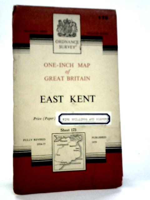
1959. No Edition Remarks. Unpaginated. Large folded map backed with pictorial paper covers. Map is lightly tanned with minor creasing on folds. Paper covers have moderate edge-wear with slight rubbing to surfaces and curling to corners. Lettering is bright and clear. Moderate tanning and wear marks to covers.
Ordnance Survey One-Inch Map of Great Britain-East Kent. Sheet 173
Old & Rare
Ordnance Survey One-Inch Map of Great Britain-East Kent. Sheet 173
Summary
1959. No Edition Remarks. Unpaginated. Large folded map backed with pictorial paper covers. Map is l...
Ordnance Survey One-Inch Map of Great Britain-East Kent. Sheet 173 Summary
Additional information
1720533060LEE
Ordnance Survey One-Inch Map of Great Britain-East Kent. Sheet 173
Ordnance Survey
Used - Good
Paperback
N/A
N/A
No Jacket
N/A
No Edition Remarks
Book image taken of actual book.
N/A
This is a used book. We do our best to provide good quality books for you to read, but there is no escaping the fact that it has been owned and read by someone else previously. Therefore it will show signs of wear and previous use.
1959