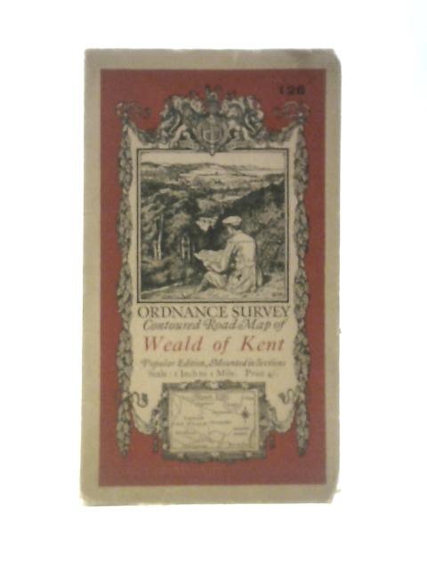
Ordnance Survey Contoured Road Map Of Weald Of Kent Sheet 126 by Ordnance Survey
1921. No Edition Remarks. Unpaginated. Colour cloth bound map with pictorial paper covers. Map has light tanning overall. Paper cover has moderate edgewear with small tears and creasing. Slight curling to corners. Medium tanning overall.