Cart
Free US shipping over $10
Proud to be B-Corp

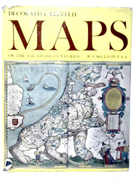
Decorative Printed Maps of the 15th to 18th Centuries R.A.Skelton

Decorative Printed Maps of the 15th to 18th Centuries By R.A.Skelton
Old & Rare

Decorative Printed Maps of the 15th to 18th Centuries by R.A.Skelton


$25.69
Condition - Good
Only 1 left

Summary

1965. This Edition. 80 pages. Illustrated dust jacket over blue cloth boards. Gilt lettering. Contai...

Decorative Printed Maps of the 15th to 18th Centuries Summary

Decorative Printed Maps of the 15th to 18th Centuries by R.A.Skelton

1965. This Edition. 80 pages. Illustrated dust jacket over blue cloth boards. Gilt lettering. Contains black and white and colour plates. Pages and binding are presentable with no major defects. Minor issues present such as mild cracking, inscriptions, inserts, light foxing, tanning and thumb marking. Overall a good condition item. Boards have mild shelf wear with light rubbing and corner bumping. Some light marking and sunning. Unclipped jacket has light edge-wear with minor tears and chipping. Mild rubbing and marking.
Additional information

1719235597IEV
Decorative Printed Maps of the 15th to 18th Centuries
R.A.Skelton
Spring Books
Used - Good
Hardback
N/A
Yes
Good
N/A
80
This Edition
Book image taken of actual book.
N/A
This is a used book. We do our best to provide good quality books for you to read, but there is no escaping the fact that it has been owned and read by someone else previously. Therefore it will show signs of wear and previous use.
1965

Customer Reviews - Decorative Printed Maps of the 15th to 18th Centuries